
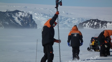
Satellites help scientists measure the thickness of land and sea ice in Antarctica. To validate these measurements, Dr Wolfgang Rack from Canterbury University travels to Antarctica each year to ...
READ MORE
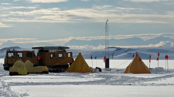
Dr Adrian McDonald from the Physics and Astronomy Department, University of Canterbury, relies on satellites to study the atmosphere over Antarctica. His research focuses on factors that affect ...
READ MORE

Position: Former Research Scientist, NIWA. Currently Expedition leader Field: Atmospheric chemistry Dr Katja Riedel was a research scientist with NIWA and, at present, is based in Wellington. She ...
READ MORE
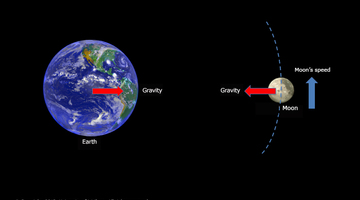
In this activity, students use a simple true or false interactive tool to categorise facts. This activity could be used as a formative activity to gather students prior knowledge and ...
READ MORE
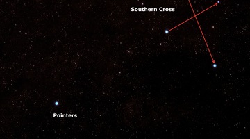
In this activity, students observe how the Moon appears to move across the sky each hour, as well as over several days. They discuss how both the rotation of the Earth as well as the satellite ...
READ MORE

In this activity, students use app and web-based resources to help them spot and learn more about artificial satellites as they move across the sky. By the end of this activity, students should ...
READ MORE
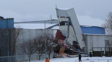
Large snow events in most parts of New Zealand are uncommon. However, if you are in the South Island or the central North Island, this citizen science project could be a great one for your ...
READ MORE
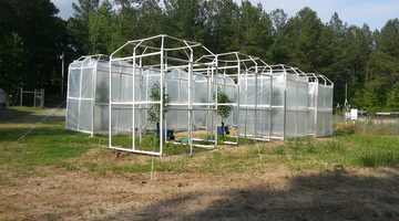
By comparing some features of fossilised plants with the same features of plants living today, scientists hope to be able to learn more about the effect of changing carbon dioxide (CO2) levels in ...
READ MORE
Help scientists establish valuable baseline data about the numbers, locations, habits and health of penguins in a range of Southern Ocean sites. This information will enable better understanding ...
READ MORE
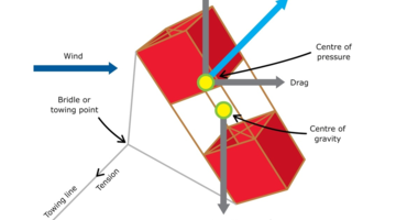
Are you looking for ways to teach forces? If you’re new to the Science Learning Hub, you may want to start with our introductory video on teaching physics. Help, I’m teaching physics Discover ...
READ MORE
Science capabilities connect the nature of science, the key competencies and the science content strands. In this online PLD session recorded on 19 May 2016, we explore the five core capabilities ...
READ MORE
There are many marine classroom activities and resources on the Science Learning Hub useful for Seaweek 2015. This online PD session recorded on 19 February 2015 shows primary and secondary ...
READ MORE
Dr Wolfgang Rack of Gateway Antarctica explains the link between sea ice thickness and global climate and how he uses the CryoSat-2 satellite to measure sea ice. Jargon alert Freeboard is the ...
READ MORE
Dr Mike Williams from NIWA explains the difference between ice formed in the sea and ice that has calved off the Antarctic ice sheet.
READ MORE
Dr Wolfgang Rack from Gateway Antarctica explains how physical and aerial measurements of sea ice are made and then used to validate measurements received from satellites. Points of interest ...
READ MORE
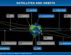
The size, orbit and design of a satellite depend on its purpose. In this interactive, scientists discuss the functions of various satellites and orbits. Accompanying fact files provide ...
READ MORE
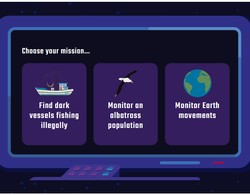
Choose a mission and then successfully build and launch a satellite that can help gather the data required. Select here for additional information on using this interactive simulation.
READ MORE

Use this interactive graphic organiser to highlight common alternative conceptions about gravity and satellites. Students can place the labels where they think they belong. This activity can be ...
READ MORE