
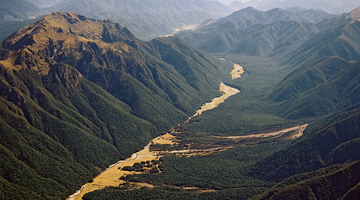
Shaky New Zealand About 14,000 earthquakes are recorded in and around New Zealand every year. Fortunately, most of them are too small for us to feel at the surface. However, many of us have felt ...
READ MORE
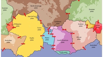
We can blame plate tectonics for many catastrophes over time – earthquakes, volcanoes, geothermal activity, tsunamis and landslides – while people living on mountain ranges or small islands can ...
READ MORE

Usually we know that earthquakes have occurred by shaking of the ground and objects, obvious ground movement or by seismometer readings but scientists have discovered to their surprise that large ...
READ MORE
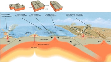
In this activity, students take on the roles of seismologists, vulcanologists and geographers, using maps to look for patterns in the worldwide distribution of earthquakes, volcanoes and ...
READ MORE
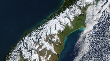
In this activity, students use maps to plot a graph of earthquakes under New Zealand to show the shape of the North Island subduction zone and compare this to the distribution of earthquakes in ...
READ MORE

In this activity, students make and/or observe two 3D moving models of the different tectonic plate boundaries under the North and South Islands representing the North Island subduction zone and ...
READ MORE

Globe at Night is an international citizen science campaign to raise public awareness of the impact of light pollution by inviting citizen scientists to measure and submit their night sky ...
READ MORE
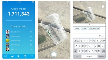
Litter is everywhere – but how much is there, and why does it matter? Litterati is an online citizen science (OCS) project that allows participants to photograph, upload and tag litter in their ...
READ MORE
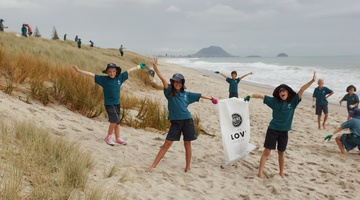
Litter Intelligence is a long-term programme run by Sustainable Coastlines in collaboration with the Ministry for the Environment, Department of Conservation and Statistics New Zealand. It aims ...
READ MORE
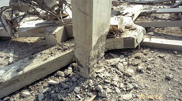
About 14,000 earthquakes are recorded in and around Aotearoa New Zealand every year. Canterbury’s 7.1 and Kaikōura's 7.8 magnitude earthquakes and subsequent aftershocks show the constant threat ...
READ MORE
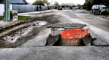
This online PD session, recorded on 18 February 2015, focuses on using Science Learning Hub earthquake resources to plan an Earth and Space science unit. It models how a variety of resources can ...
READ MORE

Dave Corner of Auckland’s Pakuranga College developed a successful geology unit using resources from several SLH contexts. His students were engaged because they had been to or seen many of the ...
READ MORE
Slow slips are silent earthquakes that occur below the Earth’s surface over a large area, unlike traditional earthquakes we feel that occur in a relatively small region. Before discovering slow ...
READ MORE
Chris Gannon and John Meyer from Robinson Seismic explain how the Ro-Glider works. Lead rubber bearings aren’t suitable for light structures, so Robinson Seismic has developed the Ro-Glider to ...
READ MORE
Professor Richard Price describes the theory of plate tectonics. He talks about the history of the ideas that make up the theory and describes how these ideas relate to volcanology.
READ MORE
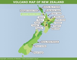
There are many different types of volcanoes around New Zealand. This interactive map shows where the major volcanoes are, the types of volcanoes and various facts such as when they last erupted ...
READ MORE
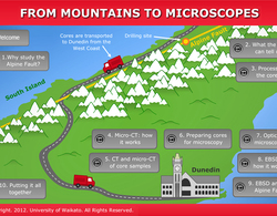
In this interactive follow a core sample as it makes its journey from the Alpine Fault to microscopic examination. Click on the labels for more information. Select here to view the full ...
READ MORE
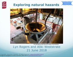
This is the slideshow that supports the Exploring natural hazards PLD webinar. Use the Slideshow menu for further options, including view full screen, and go here for the download option.
READ MORE