Wayfinding is about all of the ways in which people and animals orient themselves in physical space and navigate from place to place.
Traditionally, wayfinding referred to the navigation of ocean voyages before the invention and use of the compass, sextant, clocks and, more recently, global positioning system (GPS). Traditional wayfinders used the stars, the Sun, the Moon, ocean swells and other natural signs for clues to the direction and location of a vessel at sea.
A revival of traditional wayfinding
Before modern navigation technology, Pacific Islanders navigated open-sea voyages without instruments, instead using their observations of the signs of nature. In the 20th century, this method was still practised in some areas of the Pacific, although the traditional knowledge and techniques were in danger of being lost because of modernisation. Recently, there has been a revival of the art and science of wayfinding in the traditional sense.
The main components of wayfinding today
Voyages navigating without instruments today are a blend of ancient traditions and modern ingenuity. Modern wayfinding has three basic components:
- Designing a course strategy: This includes a plan for reaching the vicinity of a destination. This may include sailing downwind to the destination to avoid arduous and time-consuming tacking (zigzagging back and forth close to the wind to make progress against the wind).
- Keeping to the plan during the voyage: This means holding to the reference course planned while keeping track of distance and direction covered, your position north, south, east and west of the reference course and the distance and direction to the destination.
- Finding land: After entering the vicinity of the destination, observations are made for landfall.
Reading the signs in natural phenomena
Wayfinding involves watching and understanding nature. The natural world presents a continual display of signs that can be ‘read’ in the stars, swells and wind by skilled navigators. Such navigators talk about having a ‘feel’ for the ocean. Hawaiian navigator Nainoa Thompson commented, “Everything you need to guide you is in the ocean, but you need to be skilled enough to see it. It took many years to learn the ocean’s many faces, to sense subtle clues – the slight differences in ocean swells, in the colours of the ocean, the shapes of the clouds and in the winds.”
Wayfinders constantly observe nature. The main signs are from the stars. Navigators memorise at least 220 stars, remembering where they come up and where they go down. The Sun is also important and is the main reference point during the day. Navigators remember where the Sun comes up and goes down.
At sunrise and sunset, they also memorise the state of the ocean – where the wind is coming from and the character of the waves. If it’s cloudy and they can’t use the Sun or the stars, navigators rely on ocean waves. Very skilled navigators can still read the ocean swell even it’s a black night and they can’t see the water or the bow of the waka. They lie inside the hull of the waka and feel the wave patterns as they come to the canoe. They can then tell the direction of the boat.
Initially, navigators use geometry and analytical mathematics to help them navigate the ancient way, but as they become more experienced, their knowledge becomes internalised and they rely less on mathematics and more on their intuitive ‘feel’ for the situation.
The main sign for land location is seabirds that feed at sea during the day and head back to land at nightfall to rest. Some other signs include drifting land vegetation, clouds over islands, reflections from smooth lagoon water and white sand and distinctive swell patterns. You can read more about this in the article Locating land.
Everything you need to guide you is in the ocean, but you need to be skilled enough to see it.
Hawaiian navigator Nainoa Thompson
Other references to wayfinding
In recent times, wayfinding has also been used in a number of other ways, such as:
- indoor wayfinding – navigating your way around large buildings such as hospitals
- in the context of architecture when choosing a path within the built environment
- in the context of tourism – navigating locations for recreation and pleasure
- using computers and mobile devices to navigate through maps to find destinations.
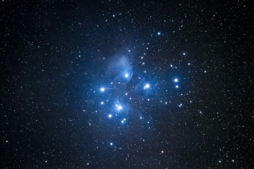
Explore how you can use the Matariki star cluster as a context for learning – covering many different subjects.
Useful links
An interesting article on star navigation by Sam Low. Nainoa Thompson’s quote above comes from this article.
Read the story of the Hōkūle’a and the beginnings of the wayfinding voyages of rediscovery. Explore the site for voyage tracking maps, learning journeys, videos, teaching activities and more related to the art and science of Polynesian voyaging.
In this video clip, Papa Mau, documents the legacy of master navigator Mau Pialiug who revived the art of traditional voyaging and reawakened cultural pride throughout Polynesia.
Visit Te Papa's website for resources and activities about Matariki.
For a variety of multimedia resources head to the Mātauranga website for their series, Land of Voyagers.


