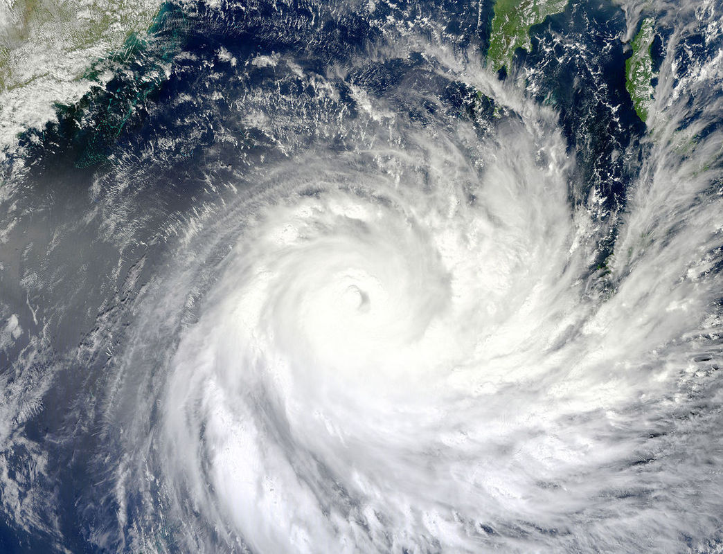

A spectroradiometer on NASA’s Terra satellite captured this image on 1 February 2011. The storm extends over the Solomon Islands and grazes Papua New Guinea. Part of the Queensland coast appears in the top left corner.
A spectroradiometer on NASA’s Terra satellite captured this image on 1 February 2011. The storm extends over the Solomon Islands and grazes Papua New Guinea. Part of the Queensland coast appears in the top left corner.